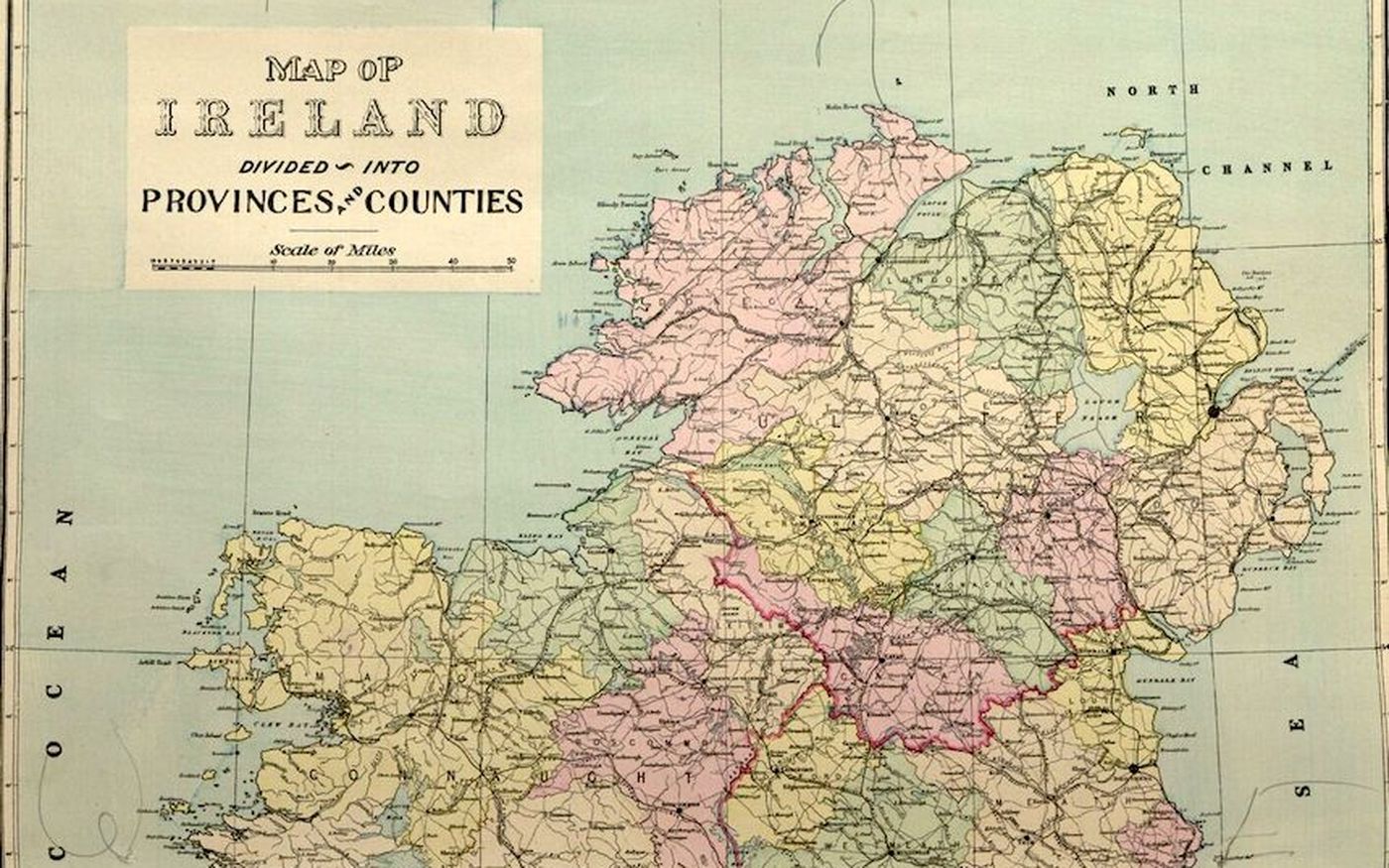
Image: L.J. Richards & Company (1901), Memorial Atlas of Ireland, Published by the University of Galway, Asset ID 3885.
3 minute read
Using maps to explore the 1911 Ireland census results
Cantabular is often used to publish data about different geographic areas. So, to improve the experience for our end users, we’ve recently added the ability to select areas directly on a map in order to get data about them.
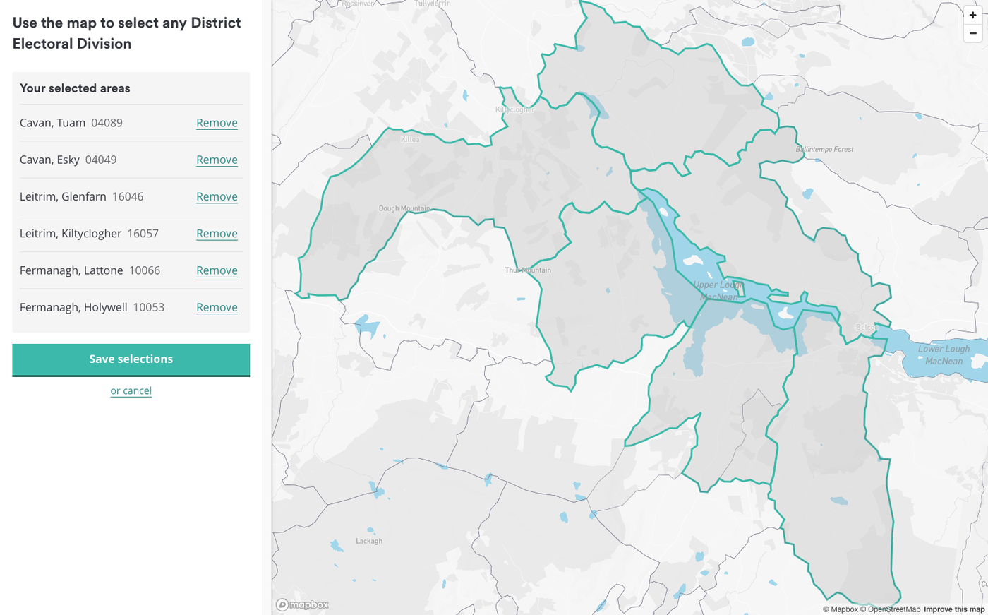
Screenshot: Selecting areas on a map using Cantabular
To show off this new functionality, we’ve added it to our publication of the 1911 Ireland census using Cantabular. We originally published this in 2021 as a statistical tool accessible to all. Through its user-friendly interface and API, researchers gained access to cross-tabulations and analyses that were once impossible.
Analysing demographics in complicated regions
If you’ve been captivated by the stunning scenes depicted in the recently released film ‘That They May Face the Rising Sun,’ adapted from John McGahern’s novel you might have wondered about the location. Among the picturesque landscapes lies Lough MacNean Upper, a body of water that straddles three counties: Leitrim, Fermanagh and Cavan.
Trying to grasp the demographics of this area following the 1911 census would have been a difficult task, with the data scattered across different sections of the official reports.
With the 1911 census data loaded into our software Cantabular, and using our new map-based selection, this job is much easier. Where keen observers of the film may have wondered about the scarcity of children in the 1980s, the 1911 census data shows that just 13 years before partition, the area boasted a thriving child population.

Screenshot: Data on age by sex for children around Lough MacNean Upper
Loading historic boundary data into Cantabular
After adding the map-based selection tool to Cantabular, we still needed to collect together the historic boundary data for Irish geographies to make them available for use. This was greatly helped by our previous collaboration with OpenStreetmap volunteers to digitise the boundaries for all outstanding District Electoral Divisions.
Even with that work completed, there was still work to do to match the boundaries to the census data. Thanks to the meticulous efforts of my colleague Mike Thompson, documented in detail and freely available in open-source code, we managed to match 98% of the nearly 4000 District Electoral Divisions to the census data.
While the prospect of extending this mapping to over 70,000 townlands would be a significant task, it’s a challenge we’re eager to tackle in the future.
So, whether you’re a history buff, a data enthusiast, or simply curious about the past, please use this tool to unlock the secrets of the 1911 Ireland Census, one map selection at a time.